Beyond the Data: Communicating Science and Impact with GIS
May 12, 2026 | 12 p.m. ET, 11 a.m. CT, 10 a.m. MT, 9 a.m. PT
Join Sunny Fleming, Director – Environment, Conservation & Natural Resources Solutions, Esri, and colleagues for a special two-part webinar series focused on communicating the impact of your work. You may register for one or both programs.
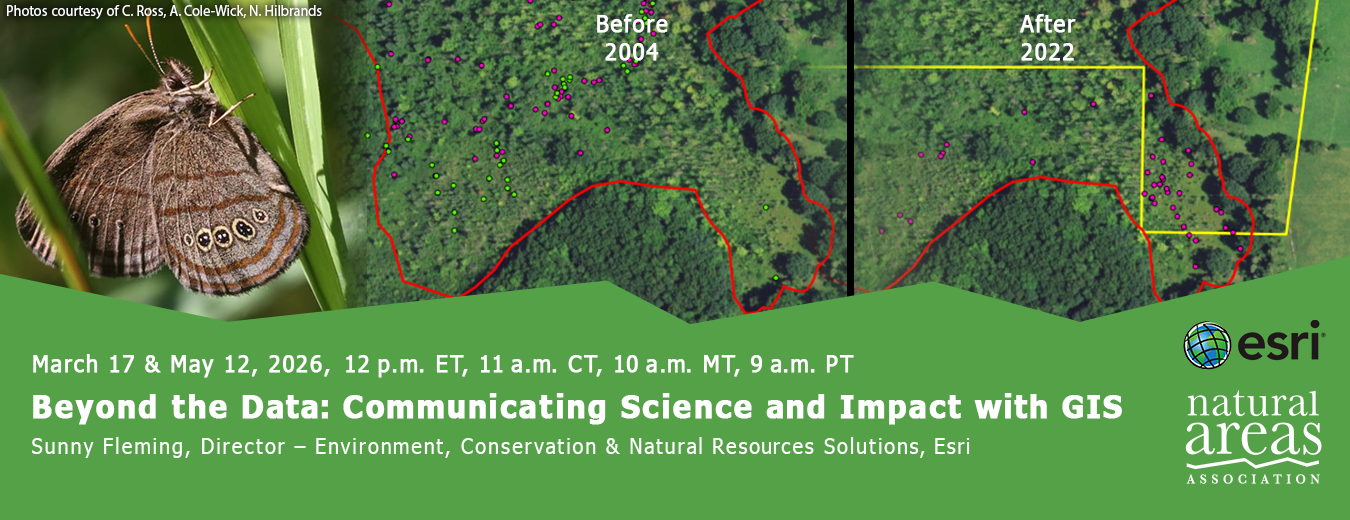
Leading land management organizations are leveraging GIS to connect with new audiences and offer innovative ways to communicate the impact of their work. ArcGIS StoryMaps, Dashboards, Hubs and more have become essential tools for telling compelling stories, engaging stakeholders, and demonstrating the impact of conservation work. Behind these storytelling tools is a comprehensive spatial ecosystem that supports every stage of a land manager’s workflow; from planning and prioritizing conservation actions to tracking field activities, organizing data, and sharing results with stakeholders.
The second webinar will feature your peers who are using these tools to support planning efforts such as State Wildlife Action Plans (SWAPs). This program is practical and applied, offering real-world insights you can apply to your own work.
| 5/12/2026 | |
Support the people who manage our natural areas and protect biodiversity in perpetuity.